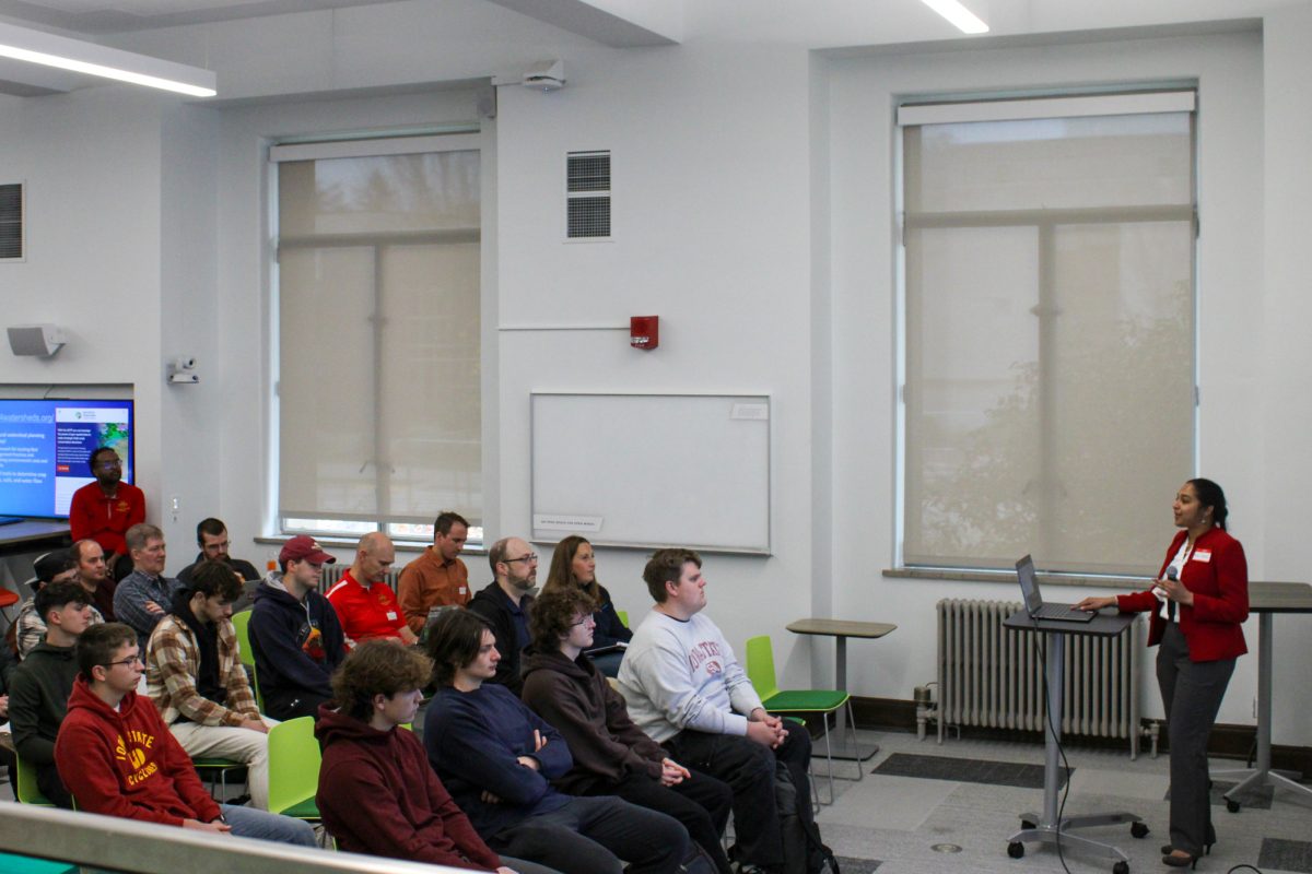
Geographic Information Systems (GIS) Day was held Wednesday internationally, with a celebration taking place within the Parks Library at Iowa State.
A geographic information system (GIS) is a combination of computer hardware and software designed to store, manage, analyze, edit, display and visualize geographic data.
“Most people will just think of GIS as mapping, but that’s not necessarily the case,” Josh Obrecht, operations lead for the GIS department, said. “Anything that has some sort of a location can be mapped but GIS also depicts the analysis and who that information is presented.”
The event included speakers presenting their research from across campus, sharing information about GIS opportunities and programs, offering free GIS swag, providing complimentary food and hosting a map competition with prizes.
“GIS Day is for everyone, from the GIS curious to the GIS user,” Michael Cummings, a digital librarian at Parks Library, said.
The event at the university was also hosted to help expand the GIS community to everyone.
“I wanted to learn more about it. I realized that GIS can be applied to more things than I realized before, especially for me with educational and teacher purposes,” Mariana Castro Azpiroz, a graduate student in creative writing and environment, said.
This is the second year GIS Day has been hosted in The Catalyst, which is their event space for digital scholarship research data and open-access publishing.
The purpose of GIS Day is to bring GIS practitioners from across campus and students working with GIS and give them lectures and presentations about current and relevant topics in the field.
“GIS practitioners are scattered all across campus and the agriculture extension as well, so it is a nice event to bring everyone together and talk to people that you maybe don’t see everyday and share ideas,” Cummings said.
Speaker Beena Ajmera talking to Iowa State Students and others for GIS day, Ames, Iowa. Nov. 20, 2024.
The event included five different presentations surrounding different aspects of GIS:
- CollectionBuilder for Historical GIS: an update on the ISU Historic Building project
- Tillage Detectives: Determining Residue Cover via Satellite
- Library Instruction with ArcGIS StoryMaps
- Using Past Slope Failures to Prepare for the Future: A Case Study across the State of North Dakota
- Geospatial Modeling for Regional Trail Planning
A Mapping Masterminds competition was also held, open to everyone. The two competition categories were Maps & StoryMaps.
The winners were Trenton Major, a senior in agricultural business, and Atlas Cahill, a graduate student in English.
“There are sections of the university that we don’t know are doing GIS, and this event is one way we are able to close that bridge and help connect on a different platform,” Obrecht said.


